
Oakland Park Block Records
No official source is a full list of Oakland Park neighbors. The Broward County Property Appraiser map is the best starting point because it preserves parcel geometry while a user clicks outward from one address. Property cards add the assessed owner, situs and mailing addresses, folio, legal description, exemptions, and sale references. Official Records can then add deeds or declarations by owner or parcel key.
Other sources answer narrower questions. A voter extract can show releasable registered-voter data but omits protected people and nonvoters. City permits and code cases show dated activity and public roles. The city association map identifies a civic territory and public contacts, not a member roll.
| Source | What It Shows About a Block | Access |
|---|---|---|
| BCPA Maps & Aerials | Adjacent parcels, folios, owners, situs, values and sales summary | Free click-and-collect map |
| BCPA Property Search | Full parcel card and mailing-versus-situs distinction | Free, no login |
| Broward Official Records | Deeds, liens and condominium declarations | Party or parcel index; no street-address search |
| Official voter extract | Releasable registration records by legal residence | Request or state extract; exemptions apply |
| Oakland Park association map | Association territory and public leaders or managers | Public city list and map |
| Permits and code cases | Dated work or case activity and named public roles | Online or city records request |
Map Oakland Park Neighbors
Open the BCPA Maps & Aerials viewer. Choose Search By Address, enter the house number and street name in separate fields, and submit. Zoom until parcel lines are clear. Identify Parcel opens the subject polygon. Click each touching or nearby polygon in turn, or use Collect Parcels to assemble a selected-parcels table that can be copied.
- Confirm the subject parcel from its situs address and legal description.
- Click the parcels that touch, face, or sit immediately near it. Do not guess from house-number sequence.
- Collect the relevant polygons and save each folio, situs, and assessed owner.
- Open full property cards, keeping owner mailing addresses separate from parcel locations.
- Use deeds, permits, voter data, or association context only for the question each can answer.
The map has no verified automatic radius or buffer report. Measurements can document distance, while aerial, Pictometry, street-view, and parcel pictures help distinguish a condominium common parcel from an individual unit. Reset Map clears the work area.
Oakland Park Owners and Neighbors
An assessed owner is not the same as an occupant. A parcel may be rented, held by a trust or company, owned by an association, or receive tax mail at another address. Homestead status can support an owner-occupancy inference, but it still does not list relatives or other household members. Condo common land often names the association, not unit owners.
Use precise labels in block notes: assessed owner, tax-roll mailing address, situs parcel, deed party, permit applicant, or registered voter. A resident label requires stronger corroboration. The same caution applies when a name appears in a lien or code case, because the role may be contractor, manager, or contact.
Key distinction. The owner name on an Oakland Park parcel does not prove who occupies the address or identify every neighbor in the household.
Oakland Park Neighborhood Contacts
Oakland Park describes roughly eight square miles and 31 distinct neighborhoods. Its association page links a city-maintained map and current contact PDF. The March 2026 list includes the organization, contact role, phone, address, and email. Use that live file rather than copying personal contact details into long-lived notes.
The city map can identify which civic group likely covers a parcel. It does not define legal lot lines and cannot show every resident. Confirm the BCPA parcel first, then consult the association layer. Corrections go to the city or City Clerk, and Planning and Zoning handles neighborhood interaction.
Central and East
Corals of Oakland Park, Eastside Village, Eastland Cove, Urban Village, and local condominium associations appear in city materials.
North and West
North Andrews, Oakland Forest, Lake Pointe, Prospect Gardens, and Summer Lake groups provide public civic contacts.
Waterfront Areas
Royal Palm, River Bend, River Terrace, Riverwood Cove, and Sailboat Pointe groups help place a block in community context.
Oakland Park's 2026 Block Map
The city planning page publishes a 2026 neighborhood-association aerial map. That makes the civic layer unusually current for block research. It is still a context map. Colored neighborhood or association shapes are not cadastral boundaries, the legal parcel lines used for ownership and notice.
The city's own public-hearing process shows the distinction. For some applications, notices go to BCPA tax-record owners within a defined distance. The city relies on the property roll for owner notice, not an association roster or commercial neighbor list. Follow the same source order when checking Oakland Park neighbors.
Oakland Park Voters by Block
The Supervisor of Elections personal status tool is not a street browser. It requires first name, last name, and date of birth. A larger block set needs the official voter extract or a tailored Broward public-record request. Specify Oakland Park geography, street or address range, fields, format, and snapshot date, and ask the custodian to omit exempt data.
Florida law makes much voter registration data public, including releasable names, legal residence addresses, party, status, precinct and district codes, and participation history. It protects key identifiers, copied signatures, registration-source data, preregistrants, and qualifying addresses. Participation history says only that a voter was credited in an election. It never shows ballot choices.
The Florida voter extract request page explains the official geographic data route.
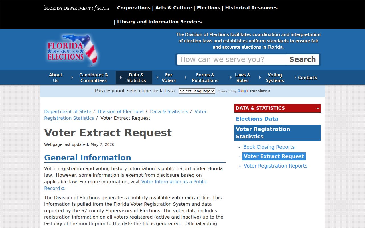
The request route, rather than the identity-gated status tool, is the proper source for a releasable block-level voter set.
Oakland Park Block Activity
Permits and code cases add dates and property activity to the parcel view. Oakland Park code cases from January 1, 2020 are available through the online channel. Earlier cases require a public-record request. A result may identify an owner, applicant, contractor, or contact. Preserve the stated role instead of calling each person a neighbor.
Official Records can add deeds, liens, and condominium declarations. Broward indexes instruments by party and parcel-related keys, not by street address, so begin with BCPA. A declaration can explain common property and unit structure. A deed connects title parties, but neither document provides a renter roster.
Oakland Park Neighbor Tool Choices
Official rolls and commercial neighbor tools serve different interests. Official records identify their custodian, date, role, and correction path. Commercial compilations may merge old addresses, names, and phone data without showing a clear source date. They can also republish errors after an opt-out.
| Choice | Strength | Limit |
|---|---|---|
| Official parcel and deed records | Defined custodian, parcel key, legal role | Ownership is not occupancy |
| Official voter extract | Registration source and legal-residence field | Protected people and nonvoters absent |
| City association list | Current public community contacts | Not a member directory |
| Commercial compilation | May combine broad public clues | Source, date, and accuracy may be unclear |
For a complete named-street parcel chain, shift from the immediate block to the Oakland Park street directory. Keep the neighbor search focused on adjacent parcels and community context.
Trace Past Oakland Park Neighbors
For an older block, reverse directories can be read in house-number order, then checked against deeds and released census schedules. Address continuity must be tested first. Ocean Boulevard became Oakland Park Boulevard, while a distinct Oakland Boulevard corresponds to today's NE 34th Court. Early sources may file the area under Colohatchee, Floranada, Fort Lauderdale, or Broward County.
The Ethel M. Gordon Library archive and Broward periodicals add community, school, church, obituary, and business context. These sources can show who was associated with a block at a point in time. They should be paired with a dated official record before treating an old mention as proof of residence.
Protect Oakland Park Neighbors
Utility and delivery customer data are not substitutes for a public resident roll. Protected voter addresses, motor-vehicle information, children, and confidential household data must stay out of a block file. Florida's Safe Address program and other statutory exemptions can lawfully hide an address. An incomplete result is not permission to fill the gap from an uncertain compilation.
Check city jurisdiction through parcel and limit maps before naming a neighborhood. ZIP labels may overlap nearby places, while association shapes can differ from legal lots. Keep the radius narrow, document the purpose, and verify each public fact with its custodian.
For a specific personal-safety need, FDLE maintains the official Florida offender registry with geographic search choices.
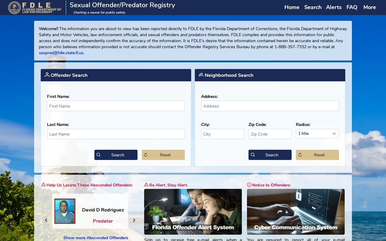
The registry has its own statutory warnings. Confirm current status and never use an entry to harass or threaten a person.
Lawful use. Research Oakland Park neighbors for legitimate personal or civic purposes. Never use address records to stalk, harass, threaten, or expose protected people.