
Walk an Oakland Park Street
The Oakland Park street directory begins with land, not a guessed occupant. Broward's property roll identifies the parcel tied to an address. The web map then makes adjacent parcels visible. A current owner name opens the deed index, while city records may add permits or code cases. Voter and reverse-directory evidence is more limited and should be used only through its lawful access channel.
Keep the house number, direction, street type, unit, folio, and legal description together. That small record set prevents a nearby lot or same-named road from being mistaken for the target.
- Enter the full address in the Broward Property Appraiser search.
- Copy the owner, situs address, mailing address, folio, legal description, and newest sale reference.
- Open the parcel in the BCPA web map and inspect parcels along the same block.
- Use an owner or instrument number in Broward Official Records, which is not searchable by street address.
- Add city code, permit, voter, or old directory evidence only when it answers a specific question.
This address-to-parcel-to-owner-to-deed flow is the core street-by-street method. It establishes ownership and record activity. It does not create a full list of everyone who lives there.
Search Oakland Park Addresses
BCPA offers multiple ways into the same parcel roll. An address query works best for the Oakland Park street directory. An owner query helps when a deed provides a name, and the folio returns one exact parcel. Subdivision searching can group legal lots when modern street wording is uncertain. This street directory method keeps the search tied to county parcel data.
| Portal field | Input type | Required | How it helps |
|---|---|---|---|
| Owner name | Text | For owner mode | Find parcels held by a person or entity |
| Address | House and street | For address mode | Match the physical site |
| Legal subdivision | Name | For subdivision mode | Find lots under a recorded plat |
| Property ID | 12-digit folio | For folio mode | Open a single parcel record |
| City | Optional filter | No | Narrow results toward Oakland Park |
The portal can return situs and owner mailing addresses, legal description, values, exemptions, sales, use code, taxing districts, and links to related parcel data. Search results may be downloaded. Do not infer an occupant from an owner field or a mailing destination.
The captured BCPA address and folio search shows the official entry point.
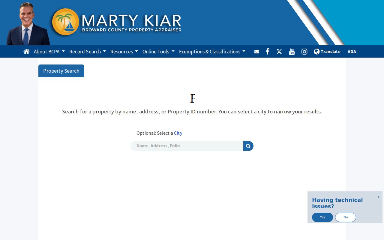
Each result must be checked against the complete situs address and folio before moving to deeds or nearby lots.
Map Oakland Park Street Parcels
The BCPA map accepts folio, owner, or situs address searches. Once a parcel is selected, pan along the road and click neighboring polygons. This is faster than guessing consecutive house numbers because lots can be skipped, combined, divided, or assigned a different mailing line. The map preserves the parcel pattern behind the Oakland Park street directory.
The alternate BCPA parcel map is captured with its address and mapped-parcel controls.
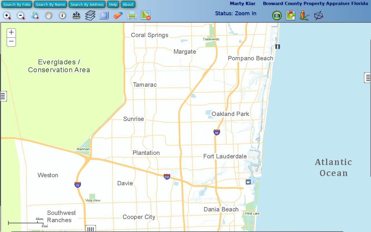
Use the selected parcel's folio to reopen the full property card. The map supplies spatial context, while the card supplies the indexed owner and legal details.
A second BCPA web-map view shows adjacent parcels at the street scale.
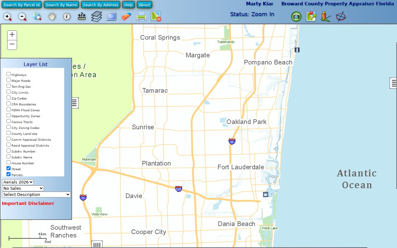
Collect each neighboring folio separately. A visible boundary is a research lead, not proof that one household or owner controls both sides.
Oakland Park Records by Street
Address-keyed sources serve different roles in a street directory. The Oakland Park street directory uses the property roll and map as direct address tools. Deeds are reached only after converting the address to a party name or instrument reference. City code cases and permits may be keyed to the site. Voter data is generally public under Florida law, but the public web tool verifies one person rather than exposing an open street roster.
| Address record | Custodian | Street evidence | Access route |
|---|---|---|---|
| Property roll | Broward Property Appraiser | Owner, situs, mailing address, folio | Free search |
| Parcel map | Broward Property Appraiser | Lot pattern and neighboring parcels | Free viewer |
| Deeds and liens | Broward Records, Taxes and Treasury | Named parties and filed instruments | Online index; older counter search |
| Code cases | City of Oakland Park | Address, case, and cited condition | Online from 2020; older request |
| Voter records | Broward Supervisor of Elections | Registration tied to an individual | Status verification or file request |
The folio and legal description are the strongest links across systems. Street spelling is more fragile, especially when directions, suffixes, old road names, and postal-city labels differ.
Ownership Differs From Occupancy
A Broward parcel card distinguishes situs from mailing address. The situs is the land's physical address. The mailing address is the destination for the owner's notices and may belong to a management office, trust, company, association, or out-of-area owner. Neither field names every person who occupies the site.
The researched common-area parcel on North Dixie Highway makes the point without exposing a private household. Its owner is an association, its mail goes to Pompano Beach, and the land lies in Oakland Park. It also has no street number and no homestead exemption, which is normal for common land. Such a result belongs in a parcel trail, not a list of residents.
- Parcel
- A legally described unit of land with its own folio.
- Situs address
- The physical location assigned to the parcel.
- Plat
- A recorded map that defines a subdivision, lots, and blocks.
- Criss-cross directory
- A directory arranged by address or phone, useful for older occupant research.
Key limit. A tax-roll owner name is evidence of ownership, not proof that the named person occupies the Oakland Park address.
From Oakland Park Street to Deed
Broward's recorder states that it does not index legal descriptions or property addresses. It searches only the supplied names and cannot promise that an instrument under another party was found. The address must first be translated through BCPA into an owner name, folio, legal description, and, when available, a CIN or instrument number.
Open the newest deed by its instrument reference. Confirm the grantor, who transfers the interest, and the grantee, who receives it. Check the recording date and legal description. To continue backward, search the seller as a grantee before the known sale. Each acquisition deed supplies the prior seller. Repeat while the subdivision, lot, block, unit, plat reference, and folio stay consistent.
The free Official Records index covers the modern period. County guidance uses January 1, 1978 as its simple cutoff, while the live portal identifies a precise full-search cutoff in July 1977. Images begin online on August 24, 1998. Older deed research goes to Search and Copy Services at 115 S. Andrews Avenue, Room 114, by visit or written request. Staff do not take those searches by phone, fax, or email.
Note: A deed can affect more than one parcel, so inspect the legal description when BCPA marks a multi-parcel or non-sale title change.
Oakland Park Lots Beat Labels
Street names and postal labels can change while a recorded legal description remains stable. Oakland Park uses directional prefixes and numbered roads alongside Dixie Highway, Andrews Avenue, Federal Highway, Commercial Boulevard, Prospect Road, and Oakland Park Boulevard. Keep NE or NW, avenue or street, and unit information intact.
Historical research needs extra name bridges. Ocean Boulevard became Oakland Park Boulevard. A different road called Oakland Boulevard is identified as today's NE 34th Court. The area was called Colohatchee in the 1910s, and the large 1925 Town of Floranada stretched far beyond modern Oakland Park. Later annexation disputes also changed which government name appeared on a record.
When an address fails, move to subdivision, lot and block, plat book and page, or metes-and-bounds wording. Then test older road and place names in newspapers and printed directories. A Fort Lauderdale postal label does not by itself place the parcel outside Oakland Park.
Oakland Park Address Case Records
Oakland Park code and permit material can connect a property to owners, contractors, complaints, dates, or case numbers. The city's online code route covers cases from January 1, 2020. Older cases require a public-record request. That date line should be stated plainly so an empty online result is not mistaken for a clean historical record.
For city-created records, first try the retention search linked from the clerk's public-record page. If the needed item is missing, submit an electronic request or call 954-630-4300. Describe the exact street address, department, date range, permit or case number, and subject. Oakland Park says it acknowledges a request within one day and then advises about any estimate.
The city's separate municipal lien inquiry has standard and rush charges and is fulfilled by an authorized vendor. It is not Broward's deed or title index. Keep those two routes separate in every by-address search.
Older Oakland Park Street Directories
A reverse, or criss-cross, directory is arranged by address rather than only by surname. It extends a street directory into an earlier era and can name an occupant when the tax roll names only an owner. Printed volumes also omit some households, businesses, new construction, and people who declined or missed listing. Treat an entry as one dated clue.
The official Oakland Park library pages do not publish exact local city-directory or criss-cross years. Ask Ethel M. Gordon Library Adult Services before planning a visit. Broward Main Library also keeps old phone directories, newspaper runs, and microform, and staff accept some out-of-area obituary or article requests. Full shelf and reading methods belong to the Oakland Park city directory.
Pair an address entry with a deed, census page, obituary, newspaper notice, school item, or city record from the same era. This adds human context without making the printed name carry more weight than it should.
Voter Data Along Oakland Park Streets
Florida voter-registration records are generally public under section 97.0585, but the state's protections remove Social Security numbers, driver-license or state-ID numbers, signatures, and protected-address information. The Broward web tool is an individual status check. It is not an open street-by-street roster.
A broader file goes through the Supervisor of Elections public-record process and its permitted-use restrictions. Protected people may have address details withheld through Safe Address or another exemption. Participation history can show that a voter participated in an election, never the voter's choice.
For the street directory, voter evidence can support a known person's connection to a place at a time. It cannot list every occupant, minor, nonvoter, or person whose address is lawfully protected.
Oakland Park Street Directory Limits
No official portal publishes a complete Oakland Park household roll. Renters, relatives, roommates, minors, and other occupants may never appear in parcel ownership data. Utility customer data and motor-vehicle address information are not substitutes for an open resident list. Business and association addresses can also point to an office or common area instead of a home.
Use official records for a clear personal aim, such as house history, family research, estate work, verifying a seller, or understanding a block. Confirm the result with the custodian and note its date. If an online system ends, use the BCPA help line, Broward Search and Copy counter, Oakland Park clerk, elections request channel, or library archive according to the record type.
Lawful use. Oakland Park address records may be used only for lawful research. Never use them to stalk, harass, intimidate, or harm a person.